Your project is unique.
For a quote tailored to your needs, call today: (303) 443-7001
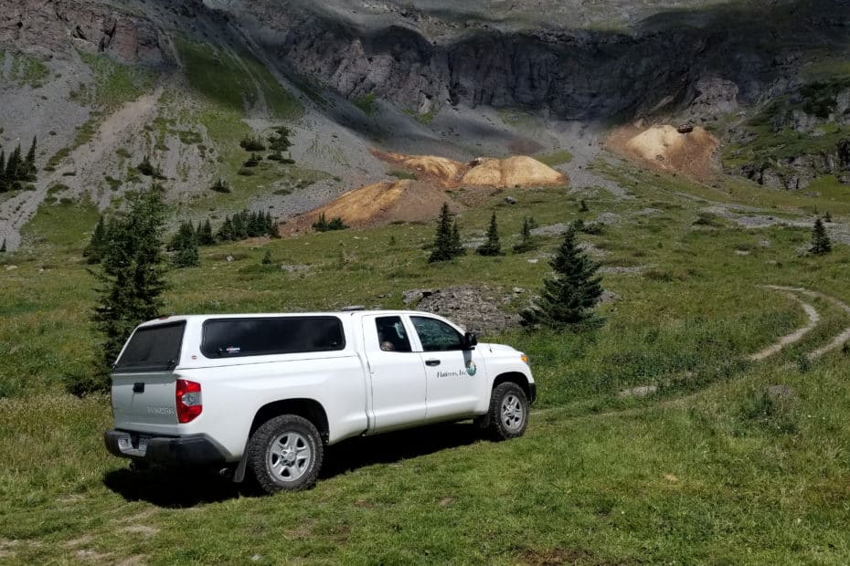
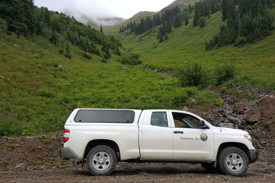
Flatirons, Inc. Services:
o Improvement Location Certificate (ILC)
o Improvement Survey Plat (ISP)
o Land Survey Plat (LSP)
o Condominium Map
o Topographic Exhibit
o Building & Improvement Layout
o Parcel, Easement, and Vacation Descriptions
o Elevation and Grading Certificates, Height Verification, LOMA Application, and Setback Verification Letters.
o ALTA/ACSM Land Title Survey (ALTA)
o As-built Verification
o Annexation Map
o Subdivision Plat
o Improvement Survey Plat (ISP)
o Land Survey Plat (LSP)
o Topographic Exhibit (Topo)
o Construction Staking
o Building and Improvement Layout
o Parcel, Easement, and Vacation Descriptions
o Plan and Profile
o Elevation and Grading Certificates, Height Verification, LOMA Application, and Setback Verification Letter
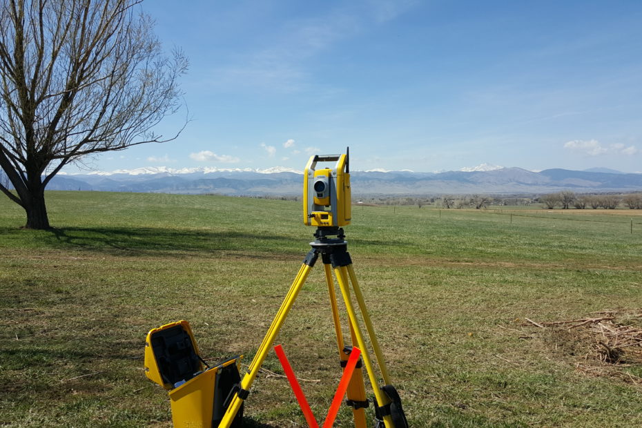
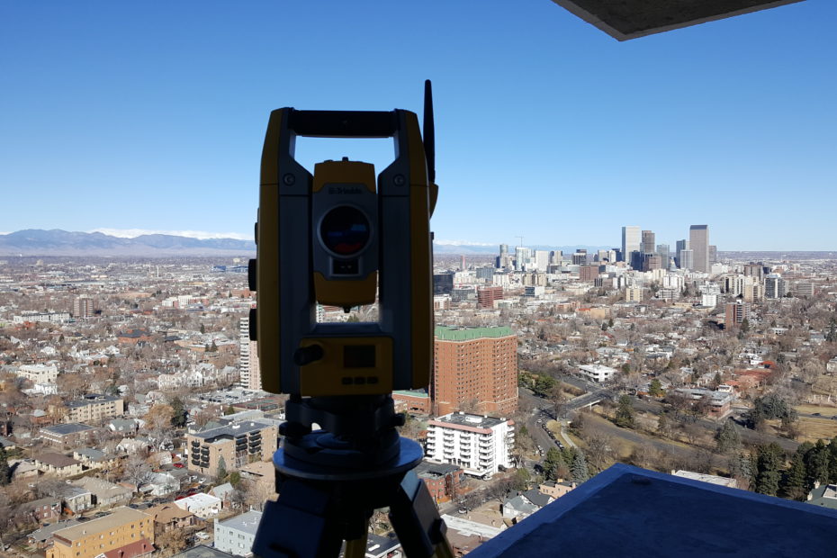
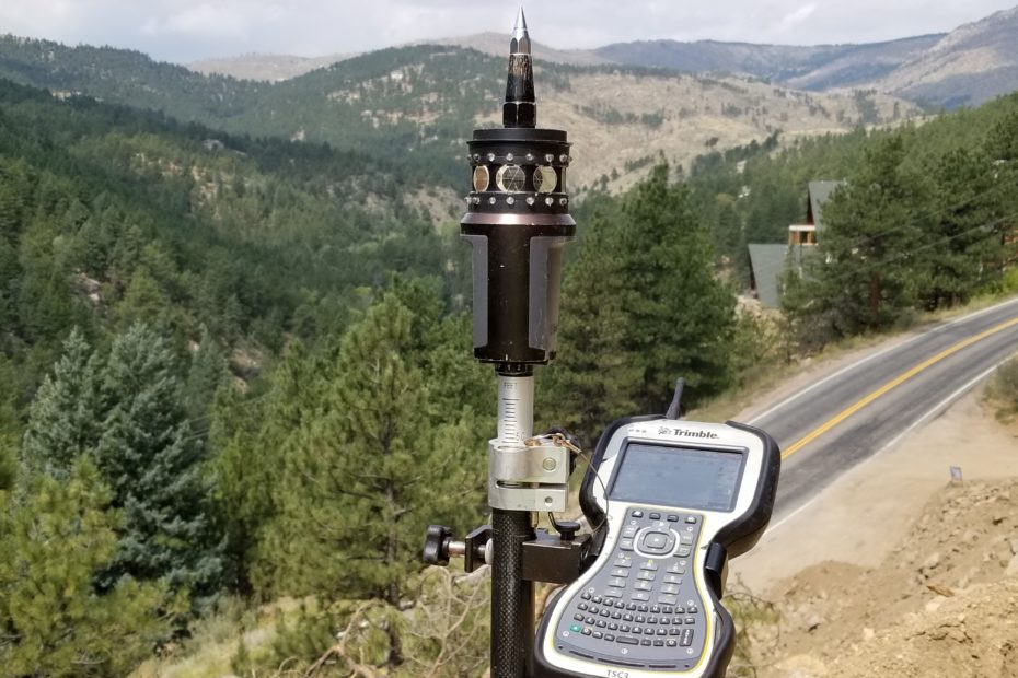
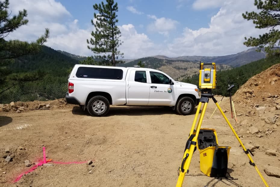
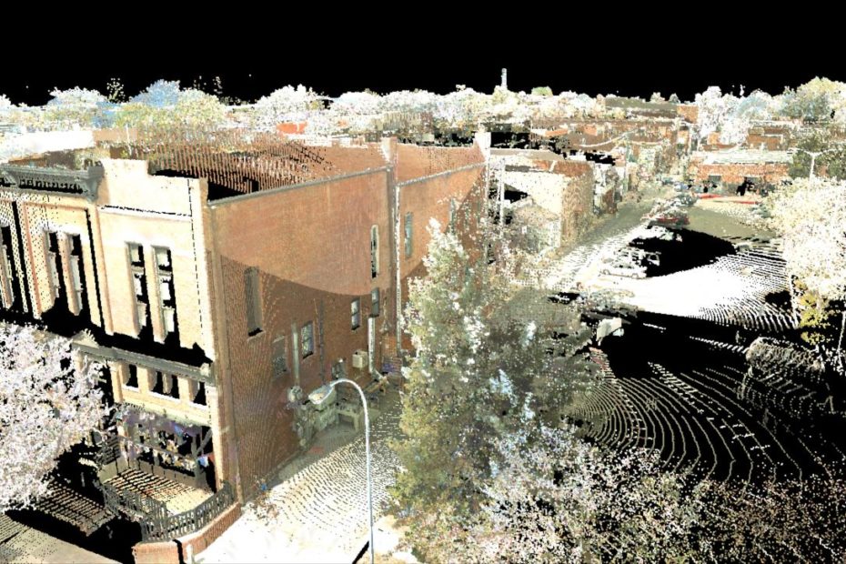
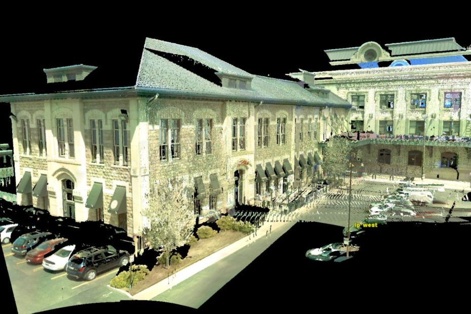
o LIDAR High-Definition Surveying
o Aerial Mapping
o Environmental Survey
o Improvement Survey Plat (ISP)
o Land Survey Plat (LSP)
o Topographic Exhibit (Topo)
o Parcel, Easement, and Vacation Descriptions
o Aerial Mapping


At Flatirons, Inc. we know you are the kind of person who wants to get their project completed with as little fuss as possible.
In order for that to happen, you need surveying services that are affordable, quick, and accurate.
But, legal requirements can be tricky and other land surveying companies can’t keep up with the pace in Colorado. This can leave you frustrated as it causes your project to fall behind. We believe getting the surveying services you need should be a quick and painless process. We understand that your project is important, and you need a quality product that is cost effective and delivered on schedule. We utilize over 35 years of accumulated data, the latest technology, and licensed industry professionals to complete each survey project accurately, quickly, and affordably.
Here's how it works:
- 1) Email or Call to speak to one of our expert project managers to discuss your needs, and receive a quote.
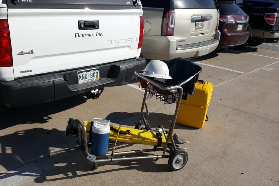
- 2) Once the estimate is approved and authorized, we'll send an experienced field crew equipped with the latest technology in land surveying to gather data and evidence for your project. The data will be downloaded, analyzed in conjunction with comprehensive records research, and drafted using state of the art software by our team of professionals.
- 3) After a careful internal review and professional certification, we will deliver the final product in electronic form and/or hard copy depending on your needs and requirements!
Call and speak with a project manager today, so you can stop worrying about land surveys and start getting things done.